Klara Günther · 20 September 2026
Unearthing Skyfeld's Roots: Library Archives Informing Infrastructure and Environmental Strategies
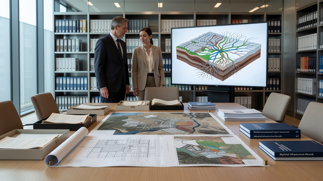
Library archives in Skyfeld have become central to ongoing infrastructure projects and environmental planning efforts, as officials draw on centuries-old records to shape decisions. These collections contain land surveys, weather logs, and engineering notes that date back to the 18th century, offering details on terrain changes, water flows, and settlement patterns that modern data sets often miss.
Historical Records as Practical Tools
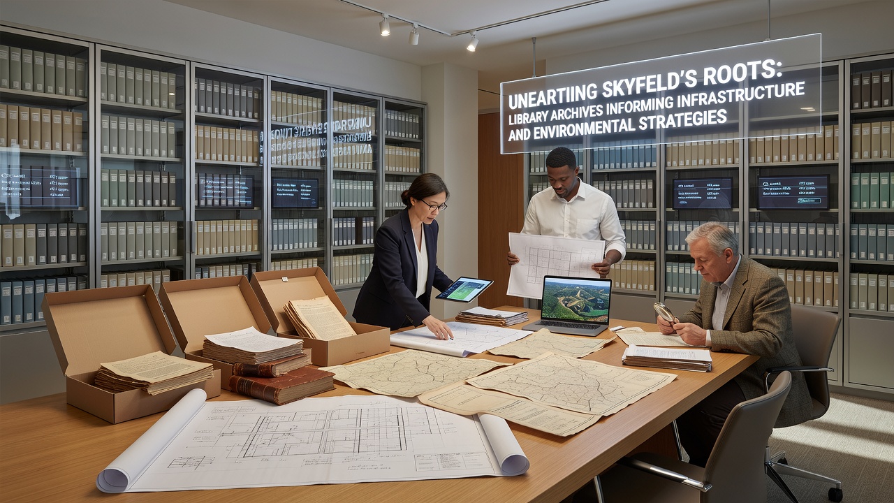
Researchers at the Skyfeld Regional Library have cataloged over 12,000 documents since 2023, including handwritten ledgers from early canal builders and forestry reports from the 1890s. Teams working on the northern bypass route consulted these materials last year to identify stable ground that avoided areas prone to subsidence, a pattern documented in multiple 19th-century surveys. The same records helped adjust drainage plans near the old mill district, where original maps showed seasonal flooding zones that still influence current hydrology models.
Archivists note that many of these documents survived because local administrators maintained duplicate copies in separate buildings, a practice that protected materials during the 1943 fire. Digitization efforts accelerated after funding from the regional development office arrived in early 2025, allowing staff to scan and cross-reference entries with satellite imagery. This combination has already informed the placement of three new retention basins scheduled for completion before September 2026.
Environmental Data from the Past
Weather observations recorded between 1872 and 1914 provide baseline measurements for temperature and precipitation that predate industrial expansion in the valley. Climate analysts have compared these figures with recent readings to calculate shifts in average rainfall intensity, which directly affects stormwater infrastructure sizing. One set of journals from a forestry station near the eastern ridge shows how tree cover influenced local microclimates, information now used to prioritize reforestation sites along proposed green corridors.
Soil composition notes from agricultural extension agents in the 1930s have proven useful for engineers evaluating sites for solar array foundations. Those earlier tests identified pockets of clay-rich earth that require different anchoring methods, details that reduce the need for new geotechnical drilling. According to data from the European Environment Agency, such historical soil records can cut preliminary survey costs by up to 18 percent when integrated into planning workflows.
Integration with Current Projects
Planners preparing the 2026 transit corridor expansion have cross-checked 1920s rail alignment studies against present-day environmental impact assessments. The older documents revealed that certain wetlands were filled during earlier construction phases, a fact that prompted adjustments to avoid disturbing remaining habitat fragments. City council minutes from 1957 also documented community objections to a proposed reservoir, concerns that resurfaced during recent public consultations and led to modified reservoir sizing.
University teams from the nearby technical institute have begun incorporating archive excerpts into training modules for civil engineering students, focusing on how past infrastructure choices continue to constrain or enable options today. These modules use specific examples from Skyfeld's own records rather than generic case studies, giving trainees direct exposure to local conditions and decision chains.
September 2026 Milestones
By September 2026 the regional planning authority expects to release updated environmental management guidelines that explicitly reference archive-derived findings. The guidelines will cover erosion control along riverbanks where 19th-century logging maps show historical channel shifts, and they will set new standards for preserving archival materials related to future infrastructure corridors. A joint workshop scheduled for that month will bring archivists, engineers, and environmental officers together to review additional document batches still awaiting digitization.
Conclusion
Skyfeld's library collections continue to supply verifiable details that support both infrastructure durability and environmental protection measures. As digitization expands and cross-referencing improves, these records are expected to influence additional projects through the end of the decade. The approach demonstrates how localized historical evidence can complement contemporary monitoring systems without replacing them.